CMNS 3420 Major Assignment Progress

Community concerns that the Bulahdelah bypass would impact heavily on the local economy have almost faded to a distant memory. The bypass was completed in June 2013, and four years on, many businesses have reported a thriving trade.
As no official study of the town has been completed post-bypass, examining how the business community has adapted to the significant reduction in passing trade will produce an informative and engaging feature. The entire article will be based around figures, which relates to the Week 10 topic of “Digging the Data”.
Karuah, small fishing village located 40 kilometres south of Bulahdelah, was bypassed in 2004. The Karuah Highway Bypass Economic and Social Impacts report compiled by the University of Sydney in 2005, shows how the reduction in passing trade was extremely detrimental to the village. This resulted in the belief that Bulahdelah would suffer the same fate.
The report provided credible information and statistics. Although more than a decade old, the figures are still relevant. This information provided the basis for a comparison between Bulahdelah and Karuah post-bypass.
The Roads and Maritime Traffic Volume Viewer has been used to obtain data both pre and post-bypass. The vehicle count is recorded electronically and therefore can be considered a reliable source. Traffic flow data from 2006 to 2017 is available from this source.
Another useful document has been the Environmental Impact Statement Technical Paper – Traffic and Transport produced by the Roads and Traffic Authority. This provides data relating to heavy vehicle traffic through Bulahdelah and includes hourly rates and seasonal variations. Figures contained in the report also provide crash statistics pre-bypass. This data was used to compare with the current situation.
Data sourced from the Australian Bureau of Statistics was also useful in showing population trends and employment sectors.
The RTA acquired considerable private land for the construction of the bypass, with claims of corruption and properties being undervalued by the authority. Despite extensive research, evidence relating to the price paid to landowners was not uncovered. As the focus of the article is post-bypass, it was decided not to include this information as it could not be verified.
Although the data relating to traffic volume is reliable, the limited facts published post-bypass on the economic impact means a vast amount of information needed to be gathered from interviewees.
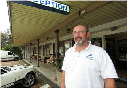
The challenge was determining what was fact as opposed to opinion. Some sources provided current data for their businesses, whilst others spoke more generally. It was important to acknowledge this in the feature.


Using the large amount of data gathered, I have been able to construct an account of Bulahdelah’s changing image; from a service town catering to passing trade to a thriving tourist destination.

The most challenging part of the research process is evaluating the most “newsworthy” aspects. Sifting through the large amounts of data, numerous transcribed interviews, pages of figures and opinions and deciding on the most relevant information whilst adhering to the word limit was difficult. The decision on what to include was based on the target audience, which is the Bulahdelah community, and the angle of the current economic climate of the town.
The main task now is to structure the data so it portrays the current state of play.
References:
Australian Bureau of Statistics (2017) Statistical Information. Australian Government. [available] http://www.abs.gov.au/ [accessed 15.10.2017]
Carrall, A. (2012) Bulahdelah Bypass: j) RTA Violations of Human Rights. WordPress [available] https://bulahdelahbypass.wordpress.com/rta-violations-of-human-rights-publication-pending/ [accessed 15.10.2017]
NSW Roads and Traffic Authority (2004) Bulahdelah Upgrading the Pacific Highway: Environmental Impact Statement Technical Paper 6 – Traffic and Transport. Parsons Brinckerhoff Sydney [available] http://www.rms.nsw.gov.au/documents/projects/pacific-highway/hexam-to-port-macquarie-eis-tech-paper-6.pdf [accessed 18.10.2017]
NSW Roads and Maritime Service (2017) Traffic Traker. [available] (http://www.rms.nsw.gov.au/about/corporate-publications/statistics/traffic-volumes/aadt-map/index.html#/?z=9&lat=-32.63298863896695&lon=151.88025749609366&yr=2017)
[accessed 15.10.2017]
Rowe, H. and Phibbs, P. (2005) The Karuah Highway Bypass: Economic and Social Impacts, The 1 Year Report. NSW Roads and Maritime Service, The University of Sydney [available] http://www.rms.nsw.gov.au/documents/projects/town-bypasses-karuah-one-year-impacts-report.pdf [accessed 13.10.2017]
Sahyoun, D. (2016) Photos – Author
